
Strategic Maps
1 articleStrategic Maps are map-led explanations in which geography is essential to understanding routes, borders, assets, exposure or influence. Coverage can map infrastructure corridors, conflict zones, migration routes, energy networks, ports, water systems or strategic chokepoints, with concise analysis of what the spatial pattern changes. Photo and Satellite Features use imagery as evidence, while Data Stories rely primarily on quantitative datasets rather than cartography as the core explanatory medium.
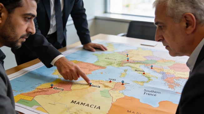
Russian outlet maps possible Geran-5 drone strike range from Algeria to France
Russian outlet Rybar has published maps suggesting that, if Algeria were to acquire Russian Geran-5 drones, targets in Morocco and southern France could fall within range-adding a new angle to ongoing debates about regional security.