
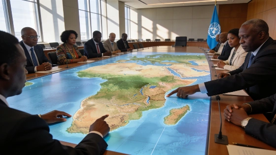
The UN General Assembly has voted to replace the centuries-old Mercator map with a projection that accurately represents Africa's true landmass, with only the United States opposing the move and six countries abstaining. The decision, driven by African Union members, aims to correct longstanding distortions in global cartography.
The United Nations General Assembly has delivered a rare rebuke to centuries of Eurocentric cartography, voting by a landslide to replace the Mercator projection with a map that finally shows Africa at its true scale. Only the United States opposed the measure, while 164 countries backed the African-led push for change.
For generations, the Mercator map has shrunk Africa to the size of Greenland, despite the continent being fourteen times larger. This distortion, embedded in classrooms and boardrooms worldwide, has shaped perceptions of power and geography since the 16th century. The new resolution, titled "Correct the Map" and sponsored by Togo with African Union support, is a direct challenge to that legacy.
Why the Map Matters for Africa's Global Standing
The Mercator projection was never designed for fairness. Created in 1569 by Gerardus Mercator to aid European navigation, it inflates the size of countries near the poles and compresses those near the equator. The result: Africa, the world's second-largest continent, has been visually minimized for centuries, reinforcing a hierarchy that persists in global consciousness.
By adopting an equal-area projection-such as the Equal Earth map developed by cartographers in 2018-the UN aims to correct this imbalance. African diplomats argue that the change is not just cosmetic. It is about cognitive justice, representation, and undoing the subtle biases that have shaped international relations and education for generations.
US Opposition and the Politics of Cartography
The United States stood isolated in its opposition. Yaryna Ferencevych, representing the US at the UN, dismissed the resolution as a distraction from more pressing global issues. "Instead of focusing on genuine problems of international peace, prosperity, or good relations, this body is debating map projects from the 16th Century, and their role in promoting reparations and 'cognitive justice'," she said. Six other countries abstained, but none joined the US in voting no.
The overwhelming support from African Union members and their allies signals a growing determination to challenge inherited narratives and demand a more accurate portrayal of the continent's scale and significance. The resolution is non-binding, but its symbolic weight is unmistakable.
Implications for Education and Global Perception
Replacing the Mercator map in official UN materials and, potentially, in educational resources worldwide, could reshape how future generations understand Africa's place in the world. The move is expected to prompt governments, publishers, and institutions to reconsider which maps they use and why. For African states, this is a rare diplomatic victory that goes beyond symbolism-it is a step toward reclaiming narrative power in international forums.
After centuries of distortion, the UN's decision is a clear signal that Africa's true scale can no longer be ignored or minimized. The United States' lonely dissent only underscores how entrenched interests resist even symbolic corrections to the global order. For Africa, this is more than a cartographic update-it is a demand to be seen as it truly is, on equal footing with the rest of the world.